First and foremost before I begin this entry I want to give credit and thanks to the Martins Fork Lake Facebook page for sharing these photos. Ever since I was small I have always wondered what the land looked like before the lake was built at Smith. So, with great gratitude I thank the folks who control the lake’s social media page for having the thoughtfulness and courtesy to share these wonderful archives with us.
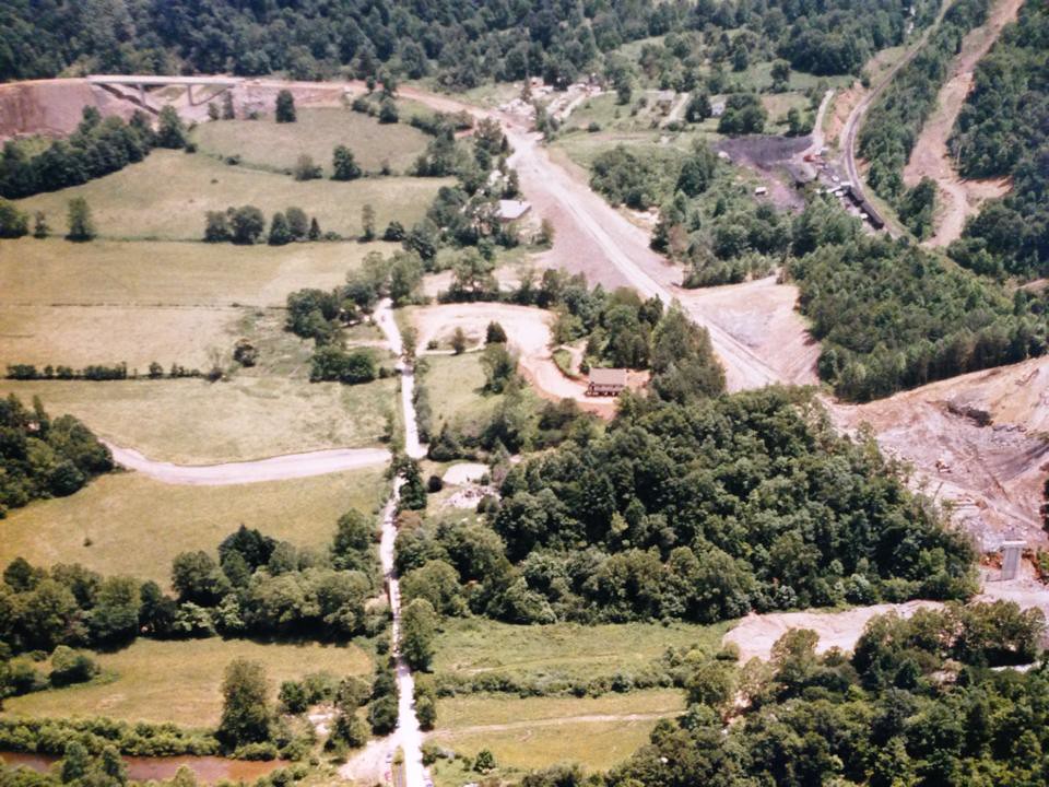 Im starting off the photos with what I consider to be the holy grail of the bunch. This photo is looking toward the bridge nearest the beach. Imagine that little road running up and down the middle is the road along the beach area. If you look closely you can see the roof of the old Smith School and the rock church near the center. Im shocked at how flat this area was.
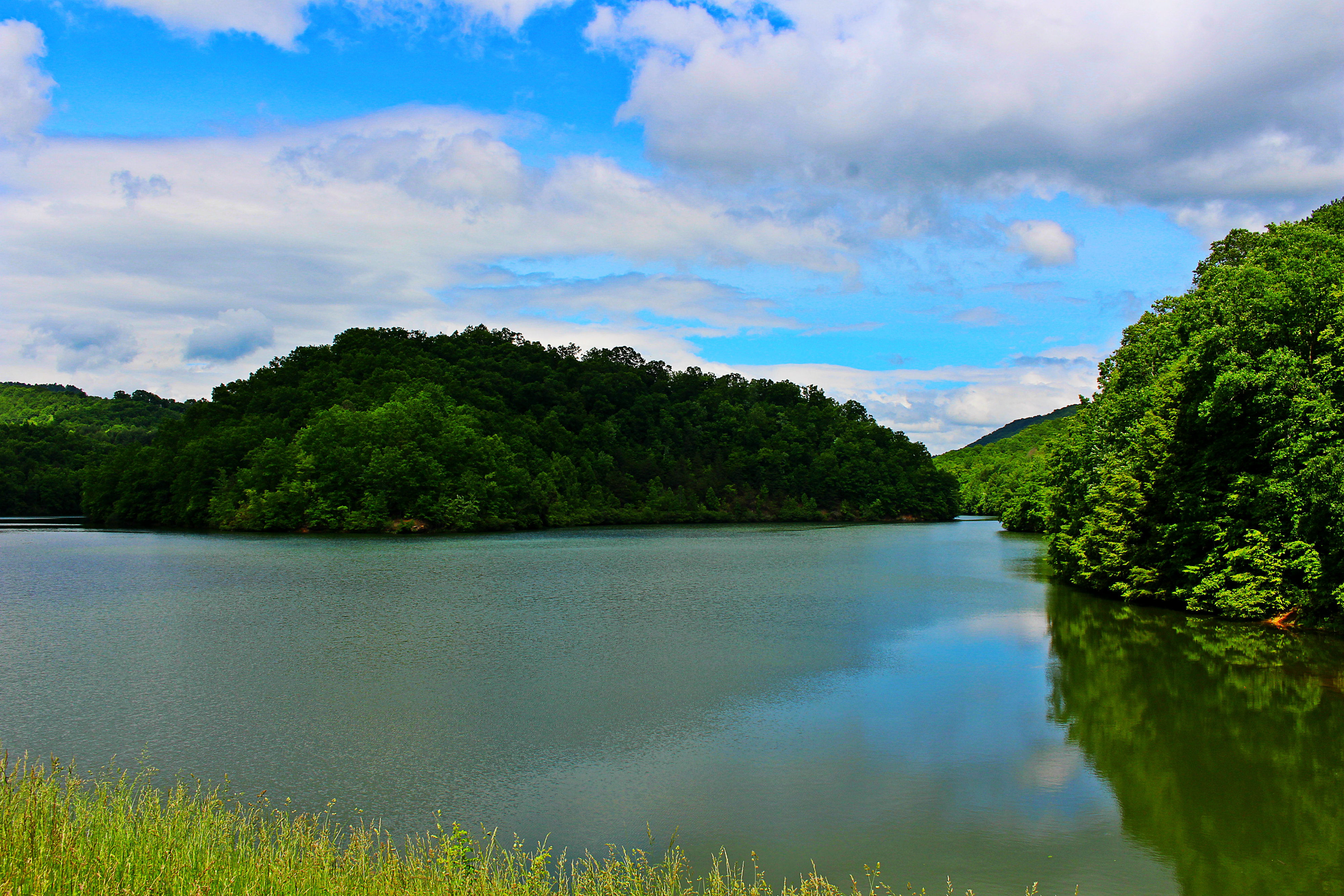
This second picture is looking off toward the lake from the last bridge. In fact, to this day, if the water is down far enough you can still tell where this bridge was that is in the picture.
 The rest of the photos are pretty self explanatory, but fascinating no doubt.
The last picture is an old welcome sign that was at the lake until the 1980s according to the lake’s Facbook page.

I also have a couple of other entries that includes more historical pictures from Martins Fork Lake and the Smith community that I posted a few years ago, if you are interested in reading those articles you can do so by clicking the links below: